
Multnomah County ZIP Delivery Areas
The County’s ZIP-and-precinct map supplies a practical list of postal labels that occur in its geography. It does not say that a whole ZIP lies inside the County. The entries below retain that distinction. A Portland post-office label is useful for address validation, while Fairview, Gresham, and Troutdale labels point to different municipal contexts. Use the exact street address when a question turns on jurisdiction, parcel history, or a historical directory.
| ZIP | Areas | Post Office | Notes |
|---|---|---|---|
| 97009 | East and southeast county-edge context | Verify with USPS | Postal area crosses the county-edge context. |
| 97024 | Fairview area | Fairview | May extend beyond the municipal boundary. |
| 97030 | Gresham and Rockwood area | Gresham | Check historic municipal boundaries before directory research. |
| 97060 | Troutdale area | Troutdale | Route can cross a city boundary. |
| 97080 | Gresham area | Gresham | Use a precise address, not the city name alone. |
| 97201 | Central Portland and PSU area | Portland | A city ZIP is not a County line. |
| 97202 | Inner southeast, Sellwood, and Brooklyn context | Portland | Postal boundary differs from neighborhood lines. |
| 97203 | North Portland and St. Johns context | Portland | Verify the street address. |
| 97204 | Downtown Portland context | Portland | Includes nonresidential delivery patterns. |
| 97205 | Downtown and west-central context | Portland | Verify the exact delivery address. |
| 97206 | Southeast Portland context | Portland | Historic municipal boundaries may differ. |
| 97208 | Portland special and PO-box context | Portland | Not a residential-area claim. |
| 97209 | Pearl and northwest-central context | Portland | Postal geography only. |
| 97210 | Northwest and Forest Park context | Portland | Can meet neighboring jurisdictions. |
| 97211 | North and northeast Portland context | Portland | USPS confirmation is needed per address. |
| 97212 | Inner northeast Portland context | Portland | Not a neighborhood boundary. |
| 97213 | Northeast Portland context | Portland | Boundary can cross service districts. |
| 97214 | Inner southeast and Hawthorne context | Portland | The ART counter is in this ZIP, not proof of coverage. |
| 97215 | Mt. Tabor and southeast context | Portland | Verify with USPS. |
| 97216 | East and northeast Portland context | Portland | City and County border complexities apply. |
| 97217 | North Portland context | Portland | Postal route does not define a civic district. |
| 97218 | Northeast and airport-area context | Portland | Includes special-use geography. |
| 97219 | Southwest Portland context | Portland | ZIP may cross city and County lines. |
| 97220 | East Portland and Parkrose context | Portland | Historic research may need the East Suburban directory. |
| 97221 | West and southwest Portland context | Portland | Boundary check required. |
| 97227 | Inner northeast Portland context | Portland | Verify city and County placement by parcel. |
| 97230 | East Portland and county-edge context | Portland | Use a parcel map for jurisdiction. |
| 97231 | Northwest and rural-county context | Portland | Postal reach and County boundary diverge. |
| 97232 | Inner northeast Portland context | Portland | Use address-level USPS verification. |
| 97233 | East Portland context | Portland | Address and precinct are more exact than ZIP. |
| 97236 | East and southeast county context | Portland | Can overlap other municipal history. |
| 97239 | Southwest and river-adjacent context | Portland | Verify the exact route. |
| 97266 | Southeast Portland context | Portland | Historical boundary and old address both matter. |
The table is an organizing tool, not a resident roll. The County map is the local starting point, and the USPS address lookup decides the delivery ZIP for a particular address. A mailing label cannot establish county residency, Portland city limits, or the history of a parcel.
Multnomah County ZIP Geography
ZIP codes are delivery routes created by USPS, while Multnomah County records use land, city, and agency boundaries. That difference is especially visible at the east edge, where a Gresham, Troutdale, or Fairview mailing context can be relevant, and in Portland ZIP areas that meet other jurisdictions. Portland has its own municipal archives and permits, but those city materials cannot establish the history of an address outside Portland. Begin by identifying the actual parcel and the government that created the record.
Myth: a postal ZIP is not a substitute for a tax lot or exact-address check. The County Tax District and Map Image Viewer can place an address or property ID against parcel, district, zoning, plat, and neighborhood-association layers. That is the local check for an ambiguous postal label. Note: Postal and civic geography answer different questions, so preserve both when creating an address timeline.
Verify a Multnomah County ZIP Address
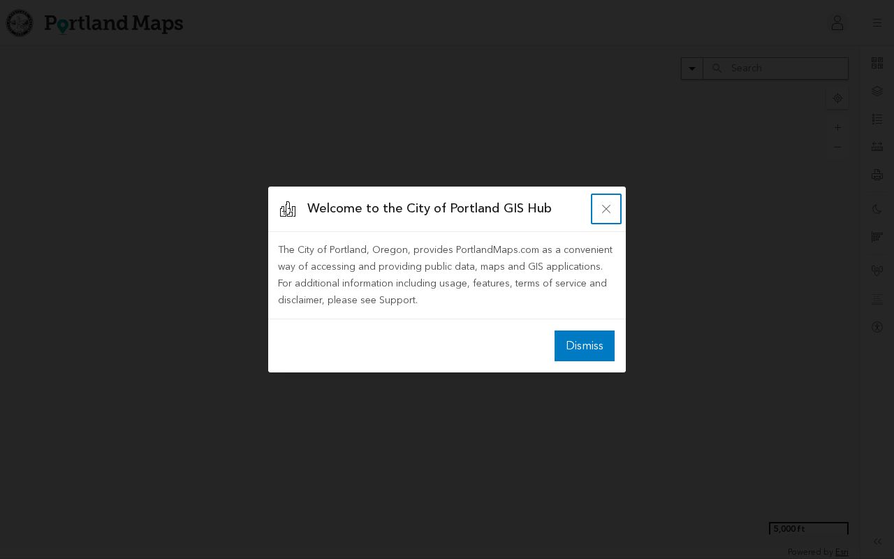
Use the USPS tool before entering county property systems. Give it the full delivery address and retain the returned ZIP as a postal fact. Then compare the location with a County or City map. For an address inside Portland, PortlandMaps accepts an address, property account number, or map number and can add city property, permit, district, and zoning context. It is an address tool, not a verified ZIP-wide directory.
The PortlandMaps screen shows the kind of address-oriented starting point that helps confirm city context before a parcel search.
After the address is recognized, compare its account or map information with County parcel records. Keep the ZIP as a delivery label rather than replacing the parcel identifier.
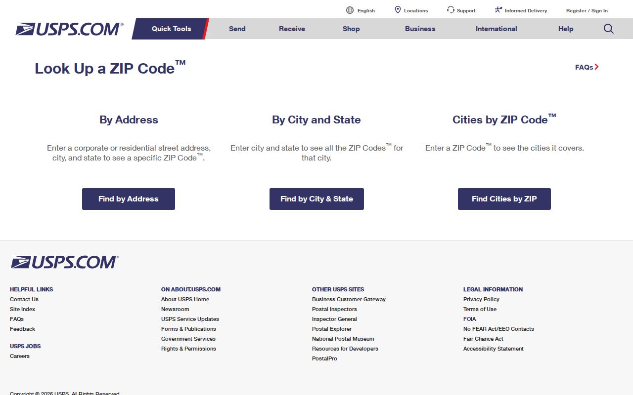
The USPS ZIP Code Lookup screen is the direct route for confirming an individual address and its mailing ZIP before that comparison.
A verified ZIP helps prevent a search in the wrong postal area, but it does not resolve a county line, a city limit, or an older street number.
Multnomah County ZIP Search Limits
No official local portal in the research records a ZIP-wide resident or property result. MultcoPropTax guest access accepts a street address or property ID. The Tax District viewer accepts owner name, property ID, property address, map page, or section. SAIL accepts address, tax lot, map, plat, and survey modes. PortlandMaps can show city and ZIP context for an address. None of those verified routes is a countywide ZIP filter.
Oregon My Vote is also not a public ZIP or name browser. It lets an individual voter check that voter’s own registration and ballot status. A defined public voter-list request follows a separate Secretary of State or County Elections process and protected addresses remain protected. This distinction keeps a ZIP search focused on geographic orientation and an exact record question.
Multnomah County ZIP Checks by Address
A ZIP-oriented record search works best as an exact-address workflow. It begins with delivery validation, not an attempt to turn a postal area into a list of people. The next steps connect the postal label to the county’s parcel and recording systems.
- Confirm the complete street address in USPS Lookup and save the returned delivery ZIP.
- Check the parcel in the County map tools to identify its municipality, property ID, and tax-lot context.
- Search MultcoPropTax by street address or property ID for owner-of-record, property facts, and available tax material.
- Use SAIL or the map viewer for the legal description, plat, survey, or district context that a ZIP cannot provide.
- When a recorded transfer matters, search the Recorder by party, date, and document type, carrying the legal description forward.
Street-level parcel work belongs in the Multnomah County street directory workflow once the ZIP has narrowed the general area. That approach follows the County’s verified address and property-ID search modes instead of inventing a ZIP-wide record set.
Multnomah County ZIP Map Routes
SAIL is the County Surveyor’s ArcGIS map for address, tax lot number, map number, plat name, and survey number. The Tax District and Map Image Viewer adds owner name, property ID, property address, map page, and section searches. Its layers include parcels, school districts, neighborhood-association boundaries, zoning, plats, and special districts. These are useful when a ZIP touches more than one civic area.
If the needed County record is not online, a targeted request can go through Multnomah County Public Records Requests. The County also provides designated department contacts and mailed or in-person routes when online filing is not accessible. A request should identify the record category, date, and address or property ID. Oregon Public Records Law allows lawful exemptions and redactions, so an unavailable address is not a reason to seek around a protected record.
Multnomah County ZIP Address Terms
Postal terms and parcel terms are easy to mix up. Record both the delivery result and the land identifier so an older document can be matched without assuming the mailing address identifies the property itself.
- ZIP code
- A USPS delivery-geography label for an address. It does not define a County or city boundary.
- ZIP+4
- An added delivery detail after the five-digit base ZIP. It refines mail routing, not a parcel boundary.
- PO-box ZIP
- A ZIP used for post-office-box delivery. It should not be treated as proof of a residential area.
- Carrier route
- A mail-delivery grouping within a postal area. It is not a public resident roster or civic district.
- Situs address
- The physical property location used for parcel mapping, which can differ from a tax mailing address.
- Legal description
- The controlling lot, block, subdivision, map, or tax-lot description that bridges changing street forms.
Multnomah County ZIP and City Limits
City limits, county limits, and delivery labels can disagree. A Portland mailing label is not a substitute for a County boundary check, and a County ZIP can extend beyond a municipal line. For historical work, add a fourth layer: the address may have been in a different municipal setting when the record was made. East-of-I-205 research can require Portland, Gresham, East Suburban, or rural-route material depending on the date.
Portland’s 1931-33 renumbering added directional names and revised many streets. The 1933 cross-reference is useful when a directory, permit, or deed predates the current number. A postal ZIP is a modern routing aid, so it cannot translate an older address by itself.