
Multnomah County Address Records by Era
Different records answer different parts of the question who lived here before. Recorded deeds are the ownership route. Tax series add dated property evidence. Portland directories can identify a listed person or business at an address, while census schedules show a household at one census date. Historic permits and maps help date the building or resolve a street change. The best first source depends on the date, the municipality, and whether the question concerns a recorded owner, a listed occupant, or the physical property.
| Source | Years | Where | What It Shows |
|---|---|---|---|
| County deed index | 1855-current | Recorder public research terminals | Grantor and grantee route to recorded transfers. |
| Recorded documents | 1955-current terminal; February 2002-current web index | ART public research area and MultcoRecords | Source instruments and searchable post-2002 index. |
| County Block Books | 1907-1942 | ART request and historic county records | Owner name and value in historic property records. |
| County tax rolls | 1942-2010 | ART request | Certified tax, value, and appraisal information. |
| Characteristics cards | 1991-current | ART request | Appraisal information and values. |
| Portland directories | 1863-1986 collection | PARC and Library research guidance | Name listings and, from 1930, reverse-address research. |
| Reverse directories | 1930 onward in the guide sequence | Historical directory volumes | Street, block, and address to a listed person or business. |
| Federal census | Released under the 72-year rule | National Archives and library resources | Household composition at a census date, not annual occupancy. |
| Portland historic permits | Varies by property and series | PortlandMaps and permitting records | Construction or modification evidence, sometimes an owner clue. |
For a recent transfer, begin with the current parcel record and the Recorder. For a Portland address from the directory era, pair the recorded trail with the reverse directory where available. An older gap is not proof that records disappeared. It may mean the relevant source is a counter series, a request-only tax record, a library volume, or an archive collection.
Multnomah County Parcel Records First
Use MultcoPropTax to search a current street address or property ID through the free guest route. The county describes results with owner-of-record information, land and building facts, values, tax amounts, payment history, and tax bills. Record the property ID, situs address, and legal description. A situs address is the physical property location, while a tax mailing address is where the custodian sends correspondence and may be somewhere else.
Next, use SAIL or the Tax District and Map Image Viewer to place the address against the tax lot, plat, assessor map, and legal description. SAIL accepts address, tax lot number, map number, plat name, and survey number. The viewer adds owner name, property ID, property address, map page, and section searches. This handoff is vital because a street number can change while the lot or legal description keeps the property connected across time.
Multnomah County Previous Residents Deed Chain
A chain of title is the sequence of recorded transfers for the same property. It follows recorded ownership, not every occupant. The County Recorder’s Digital Research Room searches the post-February 2002 index by name, date, and document type. A result can provide document number, document type, recording date, party names and party types, and legal description. Compare that description with the map or plat at every turn.
- Find the current owner of record and legal description in MultcoPropTax, then confirm the tax lot or plat in SAIL.
- In MultcoRecords, locate the latest purchase deed with the owner’s name, a suitable date, and the deed document type.
- Write down the document number, recording date, grantor, grantee, and legal description before moving to the prior transfer.
- Use the grantor from that deed as the previous ownership lead, then search that party as grantee before the current acquisition.
- Repeat backward and stop to reconcile the legal description whenever the street form, party name, or parcel connection changes.
- Grantor and grantee
- The grantor transfers an interest in the recorded document. The grantee receives that interest.
- Chain of title
- A documented sequence of transfers connected by parties, dates, and the same legal description.
- Legal description
- The land description based on lot, block, subdivision, map, or tax lot. It is more stable than a historic street number.
Multnomah County Records Beyond the Web Index
The web recording index begins in February 2002, but the Recorder’s public research area has a deed index from 1855-current and recorded documents from 1955-current. That deeper route is at 501 SE Hawthorne Blvd., Suite 175 in Portland. The County limits research time to one hour per person per day and asks visitors to confirm availability before arrival. Bring the legal description, a date range, and the party name rather than relying on a modern street address alone.
The offline options are not limited to a terminal visit. The County combined copy request can be mailed to the Multnomah County Recorder, PO Box 5007, Portland, OR 97208-5007. Assessor research can go to ART or propertytax@multco.us. ART will determine time and fees for an older-assessor request, and the county record-access guidance should be checked for current copy terms. The County Archives is another appointment or inquiry fallback for historic county records, including a deed book dated 1849-1854.
Multnomah County Old Address Records
Portland changed the address trail more than once. The early 1930s revision renumbered buildings, added directional designations, and renamed many streets. For 1930 and 1931, the Library advises using the former address. For 1932 and 1933, test both forms because neighborhoods changed at different times. Earlier Portland, East Portland, and Albina consolidation also brought the 1890/91 street renaming, and South Portland added another readdressing layer in 2020.
Portland City Archives’ Ordinance 61325 record is a 243-page 1933 old-to-new address cross-reference that helps translate an address before testing an older directory, permit, or deed.
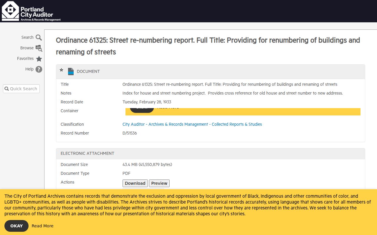
Use the cross-reference alongside the property’s legal description. It reduces the risk of attaching prior residents of a similar modern address to the wrong historic location.
Multnomah County Previous Residents in Reverse Directories
For Portland addresses, the 1930-forward city directories include a reverse address section called the Street and Avenue Guide. Start with street, block, and number. The abbreviated entry identifies a listed person or business at that address for the publication year. Then check the alphabetical portion for the fuller entry. The library notes that the reverse guide is often printed on pink or green paper. It is a dated publication, not a residency certification.
Before 1930, Portland directories are not address-arranged. The local method is to identify the people listed in 1930, search their names in earlier alphabetical volumes, and test municipal plumbing or sewer permits. The broader Multnomah County city directory collections route identifies the repositories and reading conventions without duplicating that work here.
Multnomah County Library’s house-history guide joins the address, directory, permit, census, newspaper, and deed steps for Portland, Gresham, and unincorporated County research.
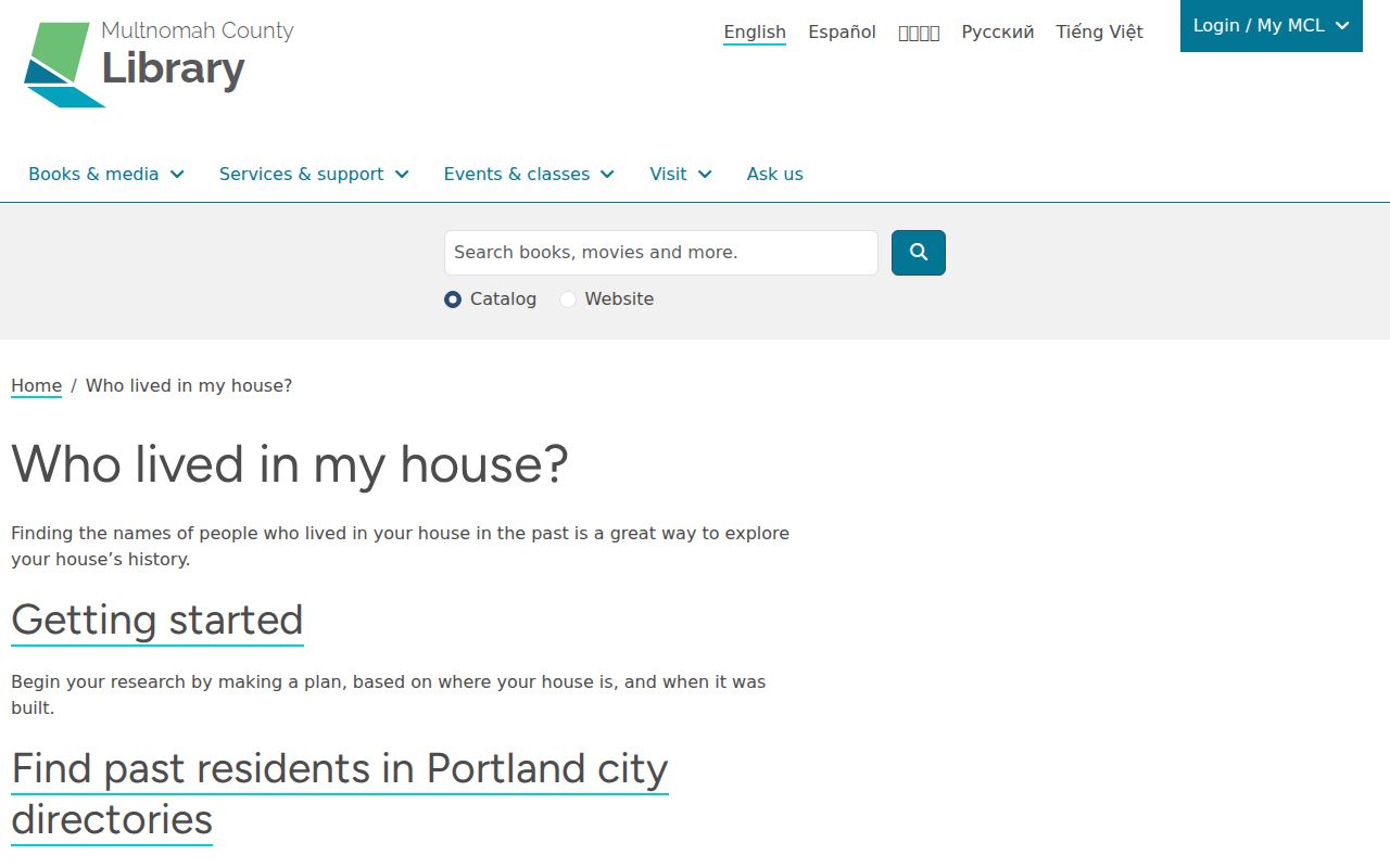
The guide is most useful when its directory method is matched to a specific address era and municipality instead of applying a Portland volume to every County address.
Multnomah County Household Records
A recorded owner is only one role in an address history. A reverse-directory entry may identify a listed occupant or business for one year, and a federal census may show household composition at its census date. Neither source proves annual occupancy or every person at the address. Keep initials, spelling changes, a business replacement, and the date next to each finding so a similar name is not merged with another household.
Use this evidence flow when the directory trail reaches a useful year:
- Copy the listed name or business exactly from the reverse directory, then inspect the alphabetical entry for its address and other printed clues.
- Check the next and prior directory years to identify a change, while preserving the old and revised street forms where needed.
- Pair a directory year with the nearest released federal census through the National Archives or the Library’s on-site Ancestry Library Edition.
- Compare the dated household evidence with the deed, tax, and permit trail, and keep conflicts open for further custodian research.
Multnomah County Library offers Ancestry Library Edition at all branches, not remotely. Oregon State Archives provides historical vital guides, Reference Room materials, and research service for open records. Probate files, when relevant to an estate or heir question, are held through the Multnomah County Circuit Court records process rather than the Recorder.
Multnomah County Permit and Map Records
Historic permits and maps date the place, which can strengthen or challenge a prior-residents timeline. For a Portland address, enter the address in PortlandMaps, select Permits, then Historic permits. City permit results can include an address, proposed work, type or use, valuation, dates, status, legal description, permit information, and party roles when supplied. A permit applicant or contact is a document role, not proof of the whole household.
Portland City Archives Efiles includes scanned maps dated 1866-1950 and property-oriented guides. Some catalog entries have downloadable material. For records held at Portland Archives and Records Center, use Efiles, email PARC, or make a research appointment instead of duplicating a public-records request. More complete historic permit material follows Portland Permitting & Development guidance or the City’s Legal Records Team and GovQA route. Note: County and Portland records cover different government footprints, so check the municipality before requesting material.
Multnomah County Lawful Address Records
A prior-residents trail documents dated record roles, not a complete household list or a person’s present location. Owner-of-record, a directory householder, a recorded party, and a permit contact can be different people. Records may also be missing, redacted, restricted, or tied to another municipal footprint. Treat a result as evidence for house history, family history, an estate question, or personal civic research, and confirm important facts with the office that holds the original record.
Oregon’s address confidentiality and voter exemptions can lawfully limit what appears in a record. A targeted written public-records request is appropriate only for a defined County record, date, and category, and a lawful denial or redaction must be respected.