
Start a Multnomah County Street Search
A street directory search works best when it follows one parcel at a time. The county property account identifies an owner of record and the physical property, while the map tools attach that address to a tax lot, plat, or legal description. A deed index then places a transfer in time. Historical reverse directories can supply a dated listing for an address, but they are annual snapshots rather than proof of a current household. Oregon's individual voter tool is also not a street browser. When a permitted voter-list request is relevant, it remains a separate records process with protected addresses excluded.
- Search the exact address or property ID in MultcoPropTax and save the property ID, situs address, owner-of-record field, and legal description.
- Open the parcel in SAIL or the Tax District and Map Image Viewer. Confirm the tax lot and inspect the adjacent parcels without assuming they share a common history.
- For a recorded transfer, search the owner or earlier party in MultcoRecords by name, date, and document type. Preserve the document number and party role.
- When the web index does not reach the needed transfer, use the ART public research area and its deed index, which reaches back to 1855.
- For a past address listing, use the 1930-forward reverse-directory route one year at a time, after resolving any historic address change.
That sequence is an address trail, not a roster. A mailing field may lead somewhere other than the property, and a deed party is a recorded role. Note: Save the source date with every result so a current parcel fact is not confused with a historical listing.
Multnomah County Street Directory Fields
MultcoPropTax Property Search is the County's guest property route. Its combined search box accepts a property ID and situs-address terms, after the visitor accepts the disclaimer and completes the CAPTCHA. The result grid is especially useful for separating the physical address from the account and legal-description details that carry an address trail across records.
| MultcoPropTax field | How it is used by street | Verified result context |
|---|---|---|
| Combined property ID / situs input | Enter an exact address or a property ID | Guest search uses either route. |
| Property ID | Carry it into parcel and bill research | County example format: R176816. |
| Owner Name | Identify the owner-of-record field | It does not establish occupancy. |
| Situs Address | Locate the physical parcel | Use it with the map viewer. |
| Legal Description | Check continuity across deeds and maps | Often survives a street-number change. |
The result also leads to land and building information, values, tax amounts, payment history, and bills. Online value and tax information reaches back to 2008, while bill copies begin in 2018. Older material follows distinct ART series rather than a single screen.
See the County's property search tools and maps page before choosing a second system. It distinguishes the property search from the recorder index, SAIL, and map viewers.
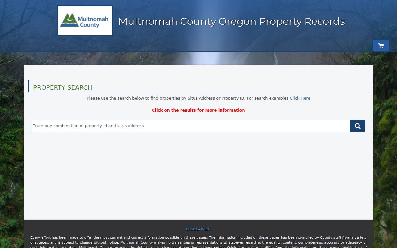
The combined property ID and situs-address prompt is the practical entry point for a Multnomah County street directory search.
SAIL Parcels Along a Multnomah County Street
SAIL, the Survey and Assessor Image Locator, supplies the map and survey layer that a tax account alone cannot provide. It searches address, tax lot number, map number, plat name, and survey number. Its parcel search data includes property ID, situs address, alternate account number, and map tax lot. Partial terms can return matches beyond the current map extent, which helps when an address is not visible at the starting zoom.
SAIL also routes research to surveys, subdivision plats, condominium or partition material, road surveys, bearing trees and public-land corners, and historic survey book and page references. The County says the map includes surveys, recorded plats, cadastral maps, and assessment information. Its new configuration also notes historic aerial imagery for 1998 through 2023. For a missing map or description, the County Surveyor can be reached at survey.records@multco.us or 503-988-3600 with the address details.
The County's SAIL guide explains the viewer's survey and assessor-map purpose.
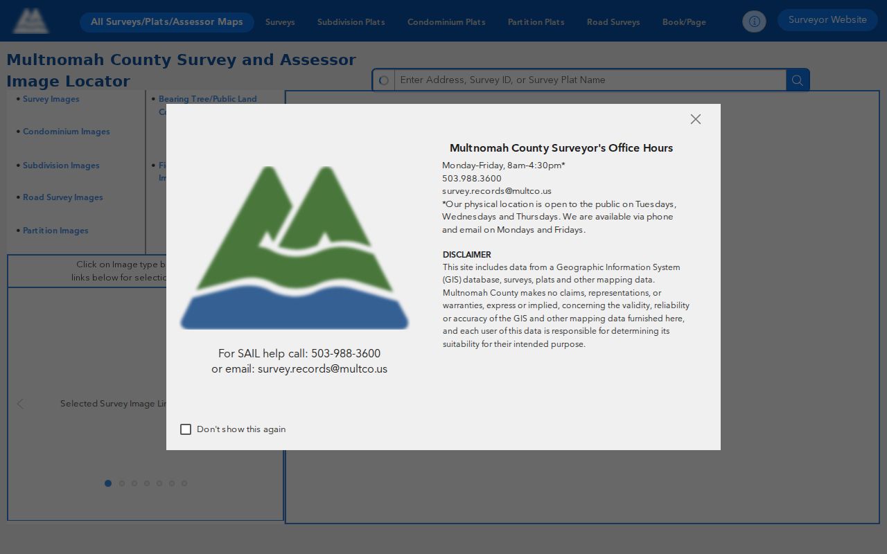
Use the map to verify land evidence around an address before treating a document's legal description as part of the same parcel history.
Map a Multnomah County Street Segment
The Tax District and Map Image Viewer is the County's other useful street tool. It searches owner name, property ID, property address, map page, or section. The available layers include parcels, tax and transportation districts, school districts, neighborhood-association boundaries, zoning, surveys, plats, and water, sewer, fire, and soil districts. Start at one property, note its ID, and select the visible adjacent parcel only after confirming the map context.
Open the Tax District and Map Image Viewer for those search modes and layers.
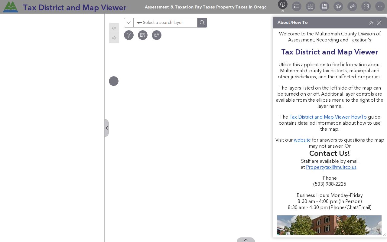
The viewer supplies parcel geography and district context. It does not make an adjacent set of parcels a list of residents.
- Parcel
- A mapped unit of land identified for assessment and recordkeeping.
- Situs address
- The physical property location used for parcel mapping. It can differ from the place where tax mail is sent.
- Plat
- A recorded map that shows a subdivision or land division and helps orient a legal description.
- Criss-cross directory
- A reverse directory organized by address, useful only for the volume's own year.
Multnomah County Street Records by Address
Several address-keyed sources overlap, but they serve different functions. The most useful order is property account, parcel map, recorded document, and then a dated directory or permit source. MultcoRecords has a public web index from February 2002, while the ART public research area extends the deed index to 1855 and recorded documents to 1955. An older tax or appraisal question may instead need an ART request for the correct historical series.
| Address source | Custodian | Street evidence | Access route |
|---|---|---|---|
| Property and tax account | Multnomah ART | Property ID, owner-of-record, situs, values, bills | MultcoPropTax guest search. |
| Assessment maps and plats | County Surveyor / ART | Tax lot, plat, map, legal-description orientation | SAIL by address, tax lot, map, plat, or survey. |
| District and parcel layers | County map viewer | Parcel location, zoning, districts, association boundaries | ArcGIS viewer with five search modes. |
| Recorded instrument index | Multnomah County Recorder | Party names, date, type, document number, legal description | Web index since February 2002; deeper terminal index. |
| Historic tax series | ART request channel | Block Books, rolls, characteristics, earlier bills | Request the series that fits the year. |
| Historic permits | City of Portland, where applicable | Work chronology and sometimes a named party | PortlandMaps and Bureau records route. |
For an offline Recorder copy request, give the document type, document number or book and page, year of recording, and the full name shown on the document. ART's public counter is at 501 SE Hawthorne Blvd., Suite 175, Portland, and limits research time to one hour per person per day. The combined request form is also the route for assessor records when the portal's dates do not answer the question.
The County's property-tools page shows how the property, recording, and map tools fit together.
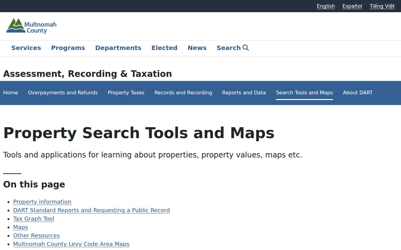
The County page is a useful checkpoint when a street search needs a different official channel rather than another query in the same system.
Multnomah County Deeds Behind a Street
MultcoRecords is not described as an address-indexed tool. Use the property ID and legal description to settle which parcel is at issue, then search the current owner or known earlier party by name, date, and document type. A useful result provides document number, document type, recording date, party names and types, and legal description. The noncertified online image can be added to a cart, but the County cautions that portal images are not certified as true, complete, and exact as recorded.
Work backward from the current owner to the recent purchase document, then take the seller as the lead for the earlier acquisition. Check the legal description each time because a street number may change while the lot or tax lot remains the more durable identifier. When the online index reaches its cutoff, take the document facts to the ART terminal or counter. The MultcoRecords Digital Research Room is the online entry for this later index.
Portland Permits Along County Streets
For an address inside Portland, permits can date an improvement or point to an application record. The local Library route is to enter the address in PortlandMaps, choose Permits, then Historic permits. The advanced permit interface accepts IVR number, application number, address, property ID, State ID, neighborhood, county, contractor number, and a date range. Results can include case number, address, proposed work, type or use, valuation, dates, status, legal description, permit information, and party roles where supplied.
Use a permit as dated property evidence, not as a claim about the people at the address. The system documents a 1,000-item maximum and requires at least one search term longer than one character. A Portland location is also not a shortcut for every County address, since Multnomah County includes several cities and unincorporated areas.
Multnomah County Street Numbers Changed
Historic street research in Portland needs an address-era check. The city comprehensively renumbered buildings, added directional designations, and renamed many streets in 1931 through 1933. City Archives' Ordinance 61325 is a 243-page 1933 cross-reference between earlier and revised numbers and street names. The prior Great Renaming followed the consolidation of Portland, East Portland, and Albina in the 1890s, and the South Portland sextant added another readdressing layer in 2020.
For a 1930 or 1931 entry, use the former address. For 1932 or 1933, test both forms because neighborhoods changed on different schedules. Cully, Brentwood-Darlington, Parkrose, and the I-205-to-Gresham corridor can add municipal-boundary issues. The legal description and tax lot make better cross-era anchors than a modern street number alone.
Reverse Multnomah County Street Directories
Historical directory volumes add a different kind of evidence. Portland directories start in 1863, but the reverse address section begins in 1930. The Street and Avenue Guide runs from street to block to number, then points to abbreviated person or business entries. It is a strong way to place an address in a particular year after the parcel and address form are settled, but it should never be expanded into a current block list.
The Multnomah County city directories collection has the fuller holdings and reading conventions. Street research uses those volumes narrowly, as one dated address check among parcel, deed, and map records.
Limits of a Multnomah County Street Directory
Owner-of-record data does not identify all non-owner residents, family members, visitors, utility users, or delivery recipients. A tax mailing address may be outside the property. An address in a directory is tied to the publication year, and a recorded party name reflects a document role. Oregon My Vote is an individual's secure registration service, not a public address browser. Public voter-list access uses a statutory request route, and protected addresses are excluded.
Safety protections can lawfully remove expected information. The Oregon Address Confidentiality Program supplies a substitute address for eligible participants; SEL 550 is the county-submitted form for a voter residence-address exemption. Oregon law also protects certain safety-based contact information, while motor-vehicle address data has separate federal and state limits. If an official record is redacted or absent, do not seek a workaround.
Lawful use. Use Multnomah County address records for personal research, property history, or civic curiosity. Oregon law prohibits stalking, harassment, threats, and misuse of protected information.